satprint
Satellite terrain to 3D-printable models.
Eric G. Suchanek, PhD -- Flux-Frontiers
Pick a place on a map and satprint turns its real elevation data into a solid relief model scaled to your printer: the terrain on top, four walls and a flat base. You get three files from the same model:
- a watertight STL of the terrain and its buildings, for a one-color print;
- a multi-color 3MF that splits the model into land, water, buildings and a border frame on four filaments, for a multi-material printer;
- a GLB with satellite imagery draped over the terrain and the roofs, for viewing in Blender, macOS Quick Look or a web viewer.
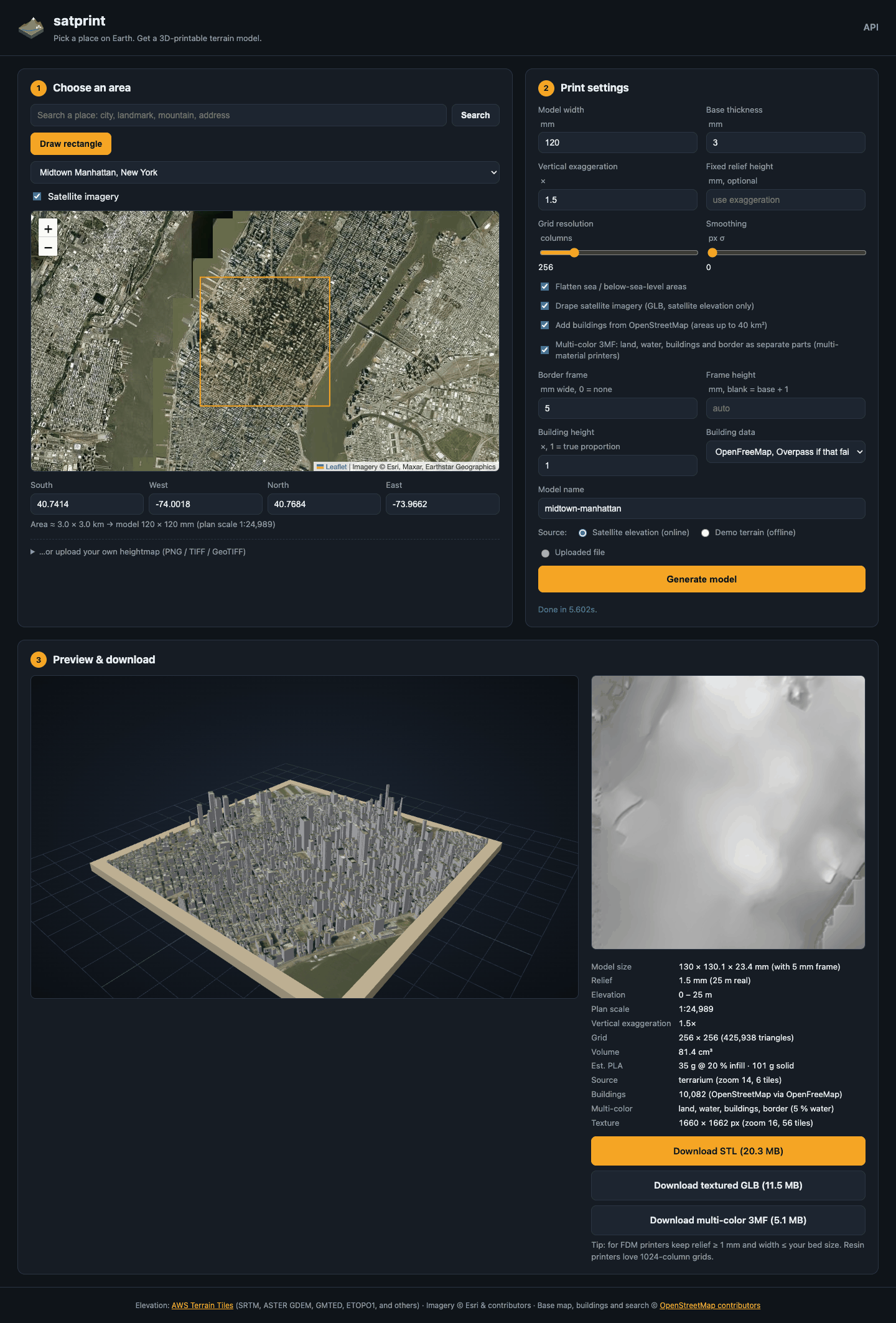
The page follows your system's light or dark setting, and the button in the header switches it:
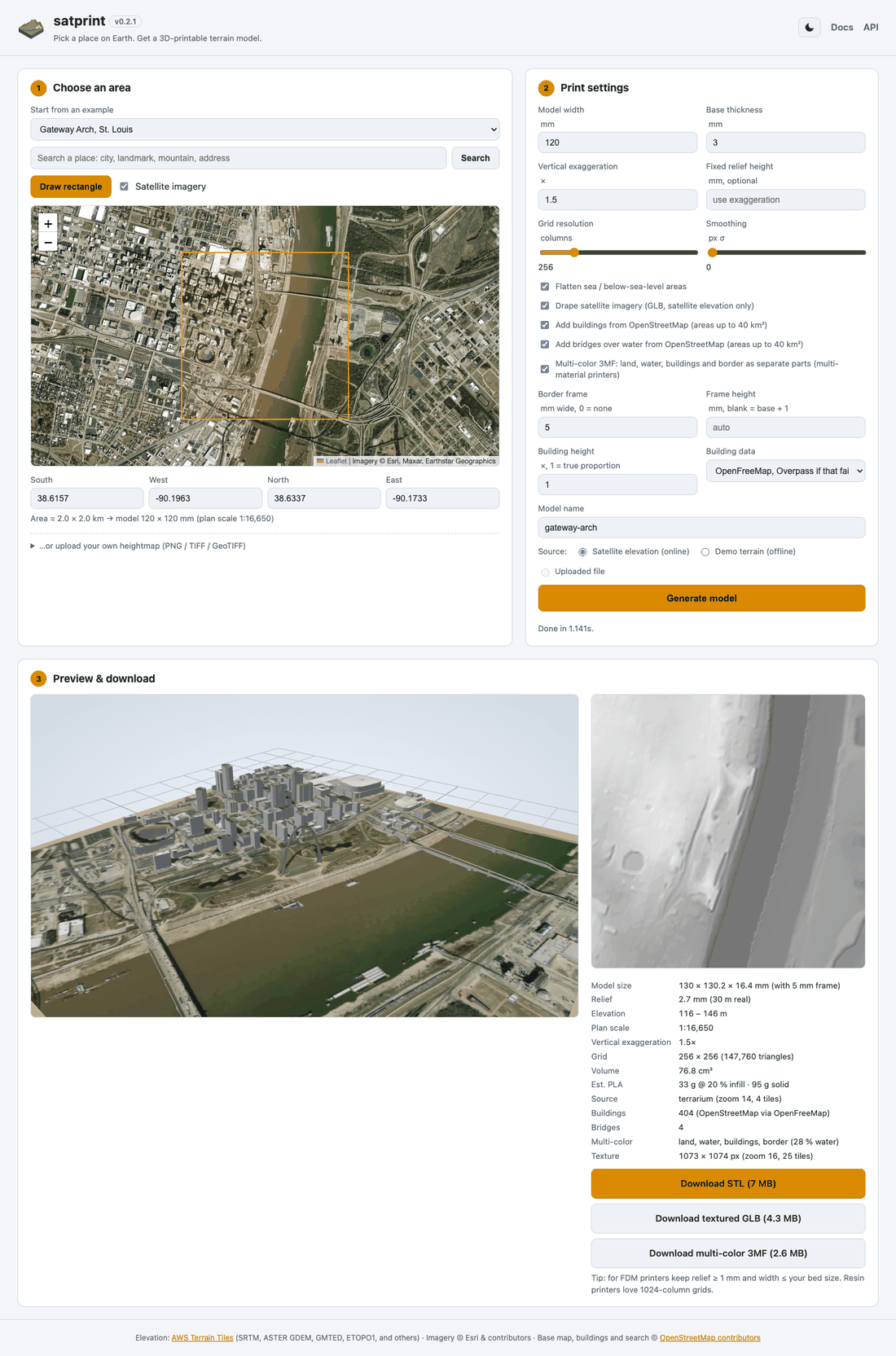
Mount Fuji from real elevation tiles, 120 mm wide with a 5 mm frame, 1.5x exaggeration:
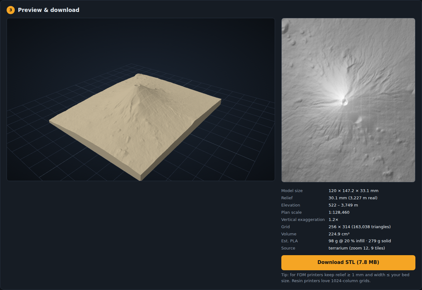
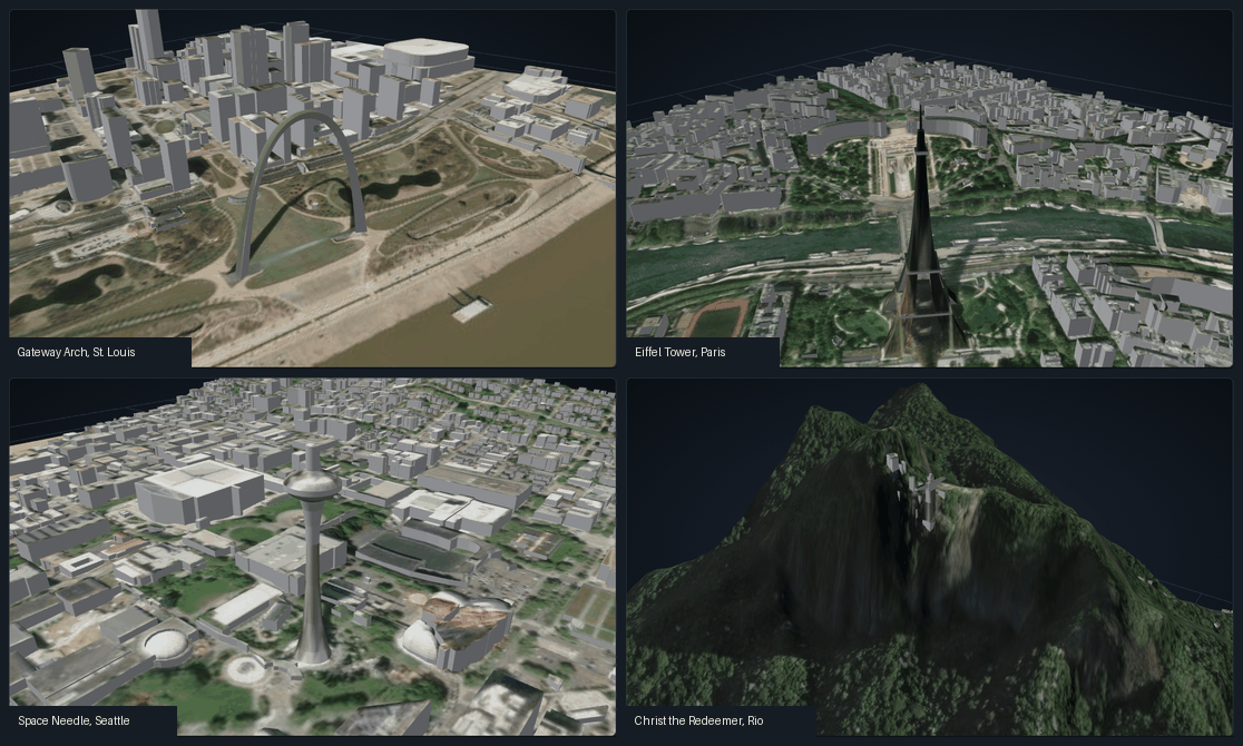
Landmarks that building outlines cannot describe are built as meshes: the Gateway Arch, the Eiffel Tower, the Space Needle and Christ the Redeemer.
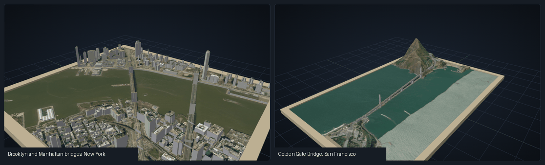
Bridges over water get a deck on piers, here the Brooklyn and Manhattan bridges and the Golden Gate Bridge:
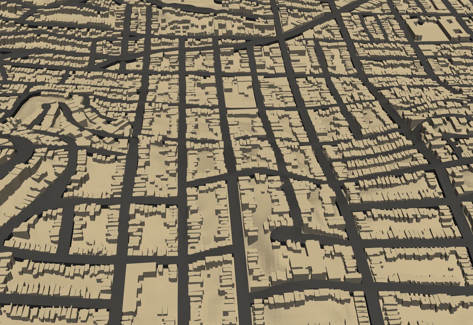
Roads are raised strips that follow the ground, here around Twin Peaks in San Francisco, printed in their own color from the 3MF:
What it does
- Real elevation, no API key. Elevation comes from the public AWS Terrain Tiles set (SRTM, ASTER, GMTED and others). You can also upload a heightmap or use a procedural demo terrain that needs no network.
- Print-aware output. True plan scale, vertical exaggeration or a fixed relief height, base thickness, sea-level flattening, smoothing and grids up to 1024 columns. Each build reports the model size, scale, triangle count, volume and an estimated PLA weight.
- Watertight by construction. Every edge is shared by exactly two outward-wound triangles, so slicers load the STL without repair.
- Buildings from OpenStreetMap, as closed solids standing on the terrain. Towers keep their setbacks, and overlapping footprints are merged so no two solids pass through each other.
- Bridges over water from OpenStreetMap, as a raised deck on piers.
- Roads from OpenStreetMap, as raised strips that follow the terrain.
- Four filaments. Land, water, buildings, roads and a border frame are separate parts of one 3MF object, already on filaments 1 to 4 in Bambu Studio and centered on the plate. The border shares the land filament.
- Search and presets. Search any place by name, or pick one of 70 presets: 40 cities and landmarks and 30 mountains and landscapes.
Where to go next
- Install satprint and run the web app.
- Print in several colors on a multi-material printer.
- Script it with the CLI or the REST API.
- Read where the data comes from, and the limits, in Data sources and limits.